
Loading live conditions...
Loading live conditions...
Last updated at: NOV 3, 2026, 7:13 PM PST · WSDOT
 LIVEopen_in_full
 LIVEopen_in_full
 LIVEopen_in_full
Two ways over the mountains, and in winter the right answer changes by the hour. Leavenworth sits on US 2 east of Stevens Pass, but Seattle drivers can also run I-90 over Snoqualmie Pass, climb US 97 over Blewett Pass from Cle Elum, and join US 2 a few miles west of town. This page puts all three passes on one screen so the choice makes itself.
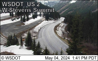
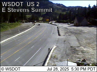
North through Everett and Monroe, then up the Skykomish River valley past Skykomish to the 4,061 foot summit and down Tumwater Canyon into Leavenworth. About 120 miles. One pass and no interstate, and the summit ski area stacks traffic up on storm weekends.
East on I-90 over Snoqualmie Pass to Cle Elum, then north on US 97 over 4,102 foot Blewett Pass, joining US 2 just west of Leavenworth. About 135 miles, most of it interstate, but it crosses two passes instead of one, so there are two postings to check instead of one.
If one route is chained up and the other is bare, take the bare one, even if it is longer on the map. If every pass carries a posting, the drive is a chains drive whichever way you go. If a pass on your route is closed, take the other route or wait it out in town; neither shortcut exists between the two routes once you are in the mountains.
Incoming storms, road conditions, and ski area news, straight to your inbox.