
Loading live conditions...
Loading live conditions...
Last updated at: NOV 3, 2026, 3:15 PM PST · WSDOT
 LIVEopen_in_full
 LIVEopen_in_full
 LIVEopen_in_full
 LIVEopen_in_full
 LIVEopen_in_full
 LIVEopen_in_full
 LIVEopen_in_full
 LIVEopen_in_full
One interstate, one mountain crossing that matters. Everything on this drive bends around Snoqualmie Pass, and the live status above is the whole trip in one line: if the pass is open and clear, the drive is a straight shot; if it is not, no routing trick fixes it.
The freeway climbs out of the city through Issaquah and into the foothills. Weather here is usually just rain, but this is your last easy exit if the pass report turns bad. Fuel up, and check the status banner above before you commit to the climb.
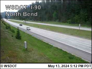
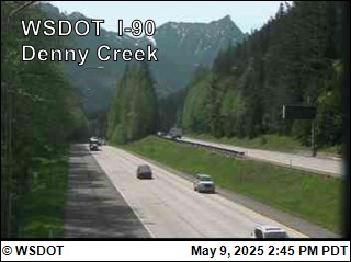
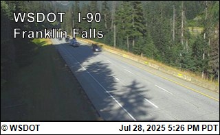
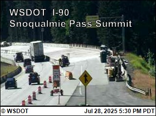
Thirty miles of steady climbing past Denny Creek and Franklin Falls to the 3,022 foot summit. This is where rain turns to snow and where traction requirements bite. The cameras on this page are spaced along exactly this stretch.
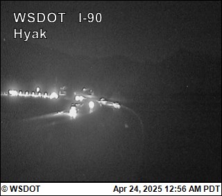
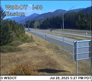
Over the top at Hyak, past Lake Keechelus, and down the east slope to Easton. Avalanche control holds happen on this side of the crest, and the road can stay icy in the shade long after the west side melts out.
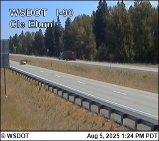
Through Cle Elum and Ellensburg, across the Columbia River at Vantage, and on through the basin to Spokane, about 280 miles from Seattle in total. Once you are past Ellensburg, Cascade weather is behind you; wind on the Columbia crossing becomes the thing to watch.
Incoming storms, road conditions, and ski area news, straight to your inbox.