
Loading live conditions...
Loading live conditions...
Last updated at: NOV 3, 2026, 3:15 PM PST · WSDOT
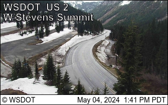 LIVEopen_in_full
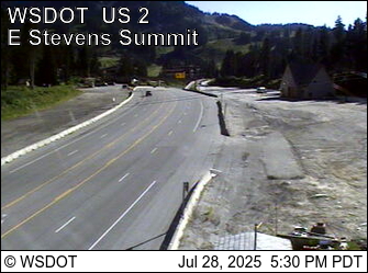 LIVEopen_in_full
 LIVEopen_in_full
Wenatchee sits where US 97 meets US 2 in the Columbia valley, and Seattle drivers reach it two ways: I-90 over Snoqualmie and US 97 over Blewett, or US 2 over Stevens Pass and down the Wenatchee River. Both routes cross real passes, and in winter the passes post independently, so this page tracks all three summits in one place.
Interstate east to Cle Elum, then US 97 north over Blewett Pass at 4,102 feet, straight down into Wenatchee. About 145 miles and the most direct line on the map, with two pass postings to check: Snoqualmie and Blewett.
Through Everett and Monroe to Stevens Pass at 4,061 feet, then east on US 2 through Leavenworth and the Tumwater and Wenatchee River canyons into town. About 150 miles, one pass, and two lane highway most of the way east of Everett.
Start with the postings above. The Blewett route asks two passes to behave; the Stevens route asks one. When Snoqualmie is closed for avalanche control but Stevens is open, US 2 is the way. When Stevens is buried and the interstate is running, go by Cle Elum. If all three passes are posted at chains, carry them and take the route you know best.
Incoming storms, road conditions, and ski area news, straight to your inbox.